Hurricane Sandy Shifts North, Major Flooding Still Coming
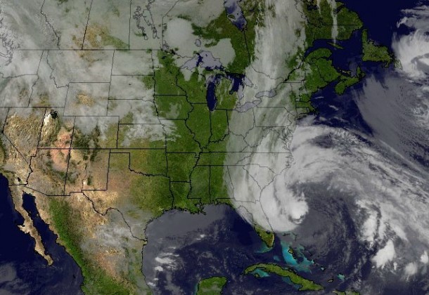

Image courtesy of NASA
St. Mary’s County officials are anticipating a three to five-foot storm surge in the next two days, depending where Hurricane Sandy comes ashore.
In a briefing this morning, officials said the eye of the storm has gradually moved north. But landfall is 48 hours away, and nothing can be taken for granted at this point.
Currently, forecasters are predicting that most rain – eight to 12 inches – will occur Sunday night through Tuesday. The National Weather Service has issued a Flood Watch for the county beginning late Sunday night through Tuesday. Officials are preparing for initial wind gusts of up to 70 miles per hour then sustained winds of 30 to 45 mph, gusting up to 60.
Residents living in low-lying areas were advised to consider moving inland, but no evacuation has been mandated yet.
The county plans to open two shelters, in Leonardtown High School and Great Mills High School, and may open a third at Chopticon High School if needed.
Officials plan to meet again this evening and Sunday morning to receive updates on the situation.
Yesterday, the county commissioners signed a Resolution to Declare a Local State of Emergency, activating the St. Mary’s County Emergency Operations Plan.
Yesterday, Governor Martin O’Malley signed an Executive Order declaring a State of Emergency for all Maryland, which allows the activation of the Maryland National Guard and provides assistance to local emergency managers.
In preparation for any college website outages due to Hurricane Sandy, St. Mary’s College of Maryland has set up a remote site at http://news.smcm.edu. The college anticipates having the ability to continuously update this site with information throughout the storm.